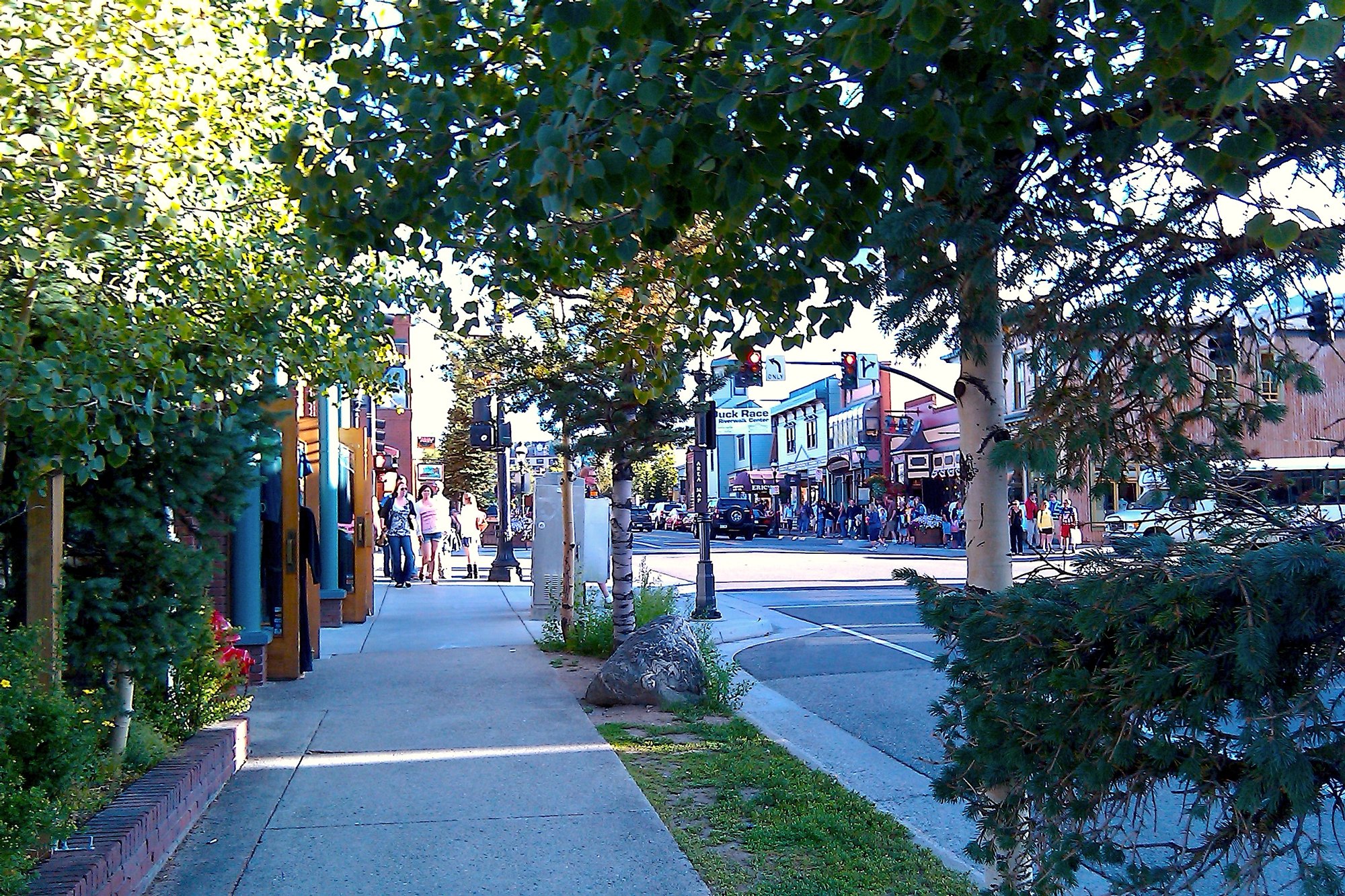
Main Street in historic Breckenridge

Outdoors

Off-roading and OHV areas near Breckenridge

Off-highway vehicle (OHV) areas and trails near Breckenridge on public land.

7off-road areas
16 mito the closest
1within 30 miles

Good to know: Most states require an OHV sticker or registration, and many routes close seasonally; check the motor vehicle use map.

Closest picks

1

Mosquito Peaks

16 mi southwest · Bureau of Land Management

This beautiful high-alpine tundra and Area of Critical Environmental Concern contains significant biodiversity. There are several small parcels of BLM land here, with unique geological formations and 18 rare plant species.
2

Bocco Mountain

38 mi west · Bureau of Land Management

Bocco Mountain Recreation Area is a small upland riding area with fantastic scenery.There are 18 miles of single-track trails open to non-motorized uses and motorcycles only. Roads are two-track and open to all vehicles.

3

Kremmling Recreation Management Area

42 mi northwest · Bureau of Land Management

The Kremmling Field Office manages 377,900 acres of land in north-central Colorado, including BLM-managed lands in the Laramie River Valley, North Park, Middle Park, Fraser Valley, and the Upper Colorado River Valley.

Map of all 7 places

Map of 7 places loads as you scroll.

Within 30 miles (1)

16 mi southwest · Bureau of Land Management

Mosquito Peaks

This beautiful high-alpine tundra and Area of Critical Environmental Concern contains significant biodiversity. There are several small parcels of BLM land here, with unique geological formations and 18 rare plant species.

  • Camping
  • Hiking
  • Off-highway vehicles
  • Wildlife viewing

30 to 75 miles (6)

38 mi west · Bureau of Land Management

Bocco Mountain

Bocco Mountain Recreation Area is a small upland riding area with fantastic scenery.There are 18 miles of single-track trails open to non-motorized uses and motorcycles only. Roads are two-track and open to all vehicles.

  • Biking
  • Camping
  • Hiking
  • Off-highway vehicles
  • Wildlife viewing

42 mi northwest · Bureau of Land Management

Kremmling Recreation Management Area

The Kremmling Field Office manages 377,900 acres of land in north-central Colorado, including BLM-managed lands in the Laramie River Valley, North Park, Middle Park, Fraser Valley, and the Upper Colorado River Valley.

  • Camping
  • Hiking
  • Horseback riding
  • Hunting
  • Off-highway vehicles

45 mi west · Bureau of Land Management

Hardscrabble - East Eagle

Hardscrabble Special Recreation Management Area (SRMA) is located between Gypsum and Eagle, and has become a trail mecca for both motorized and non-motorized users. The SRMA is divided into two Recreation Management Zones (RMZs).

  • Off-highway vehicles

46 mi northwest · Bureau of Land Management

Wolford Recreation Special Recreation Management Area

There are approximately 120 miles of designated roads and motorized trails in the Wolford Mountain Special Recreation Management Area. Motorized use is restricted to designated routes only.

  • Camping
  • Off-highway vehicles

50 mi west · Bureau of Land Management

Gypsum Hills

Gypsum Hills Recreation Area is easily accessible located right off of I-70. Challenging four-wheel drive routes and off-highway vehicle trails offers visitors the chance to test their abilities while enjoying the fantastic mountain…

  • Hiking
  • Off-highway vehicles

57 mi south · USDA Forest Service

Pike and San Isabel National Forests & Cimarron and Comanche National Grasslands

Peaks to Prairies - Tracks to Trails Pike and San Isabel National Forests & Cimarron and Comanche National Grasslands ( forest locator map ) cover nearly 3 million acres, between the prairies of western Kansas and some of Colorado's…

  • Biking
  • Boating
  • Camping
  • Climbing
  • Fire Lookouts/Cabins Overnight
  • Fishing
  • Hiking
  • Horse Camping

Distances are straight-line miles from downtown Breckenridge. Listings come from Recreation.gov’s federal recreation database; check each official page for hours, fees, fire restrictions and closures before you go.

Get outside around Breckenridge

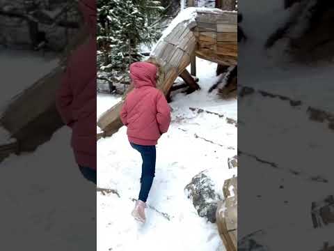
Breckenridge Colorado Troll // Easy Hike for Family video thumbnail

THINGS TO DO · YOUTUBE SHORT

Breckenridge Colorado Troll // Easy Hike for Family

A local activity Short shared by Salty Vagabonds .

Watch on YouTube ↗
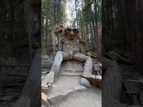
5 Must Visit Spots on your Trip to Breckenridge, Colorado video thumbnail

THINGS TO DO · YOUTUBE SHORT

5 Must Visit Spots on your Trip to Breckenridge, Colorado

A local activity Short shared by Shawn Singh.

Watch on YouTube ↗

Around Breckenridge

Breckenridge Brewery Interior 2015
Breckenridge Brewery Interior 2015Kayt Smith · CC BY-SA 3.0
The High Line Railroad Park historic rotary snowplow in Breckenridge, Colorado
2011-07-22 Rotary snowplow in Breckenridge, Coloradojoannapoe · CC BY-SA 2.0
Colorado 2013, Breckenridge
Colorado 2013 (8570676699)Jeff Gunn from Atlanta, USA · CC BY 2.0

More outdoors near Breckenridge

Questions

Where is the closest place for off-roading near Breckenridge?

Mosquito Peaks (Bureau of Land Management), about 16 miles southwest of Breckenridge as the crow flies. Next are Bocco Mountain (38 mi) and Kremmling Recreation Management Area (42 mi).

Who manages these places?

Federal agencies including Bureau of Land Management, USDA Forest Service. Each listing links to its official page for hours, fees, closures and current conditions.

Breckenridge AI

Your Breckenridge local guide
Hey there!

I'm Breckenridge AI. Ask about neighborhood food, independent shops, local history or planning a visit.

AI recommendations may be inaccurate. Verify hours and prices. Questions are processed by Cloudflare. Privacy